Custom projects
Rail networks, made visible.
Custom cartography and data visualization for transport organizations — from geographic and schematic maps to animated route visuals and branded exhibition pieces.
What we produce
Maps
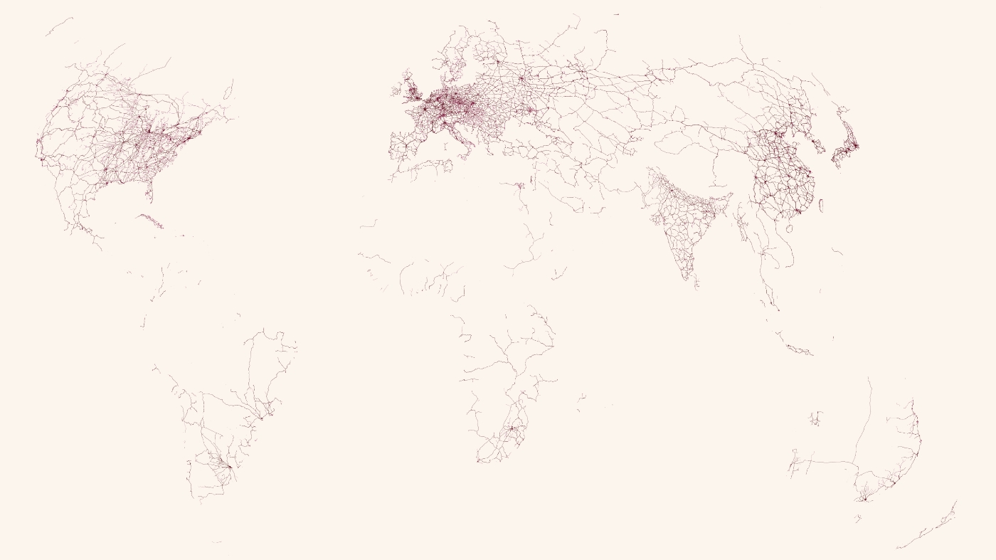
Geographic and rail-network maps designed for clarity, in print or on screen.
Data Visualizations
Interactive visualizations, dashboards, infographics, and reports to make urban data understandable.
Prints & installations
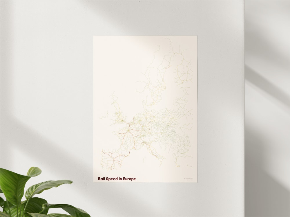
Custom rail prints for installations, offices, and exhibitions; branded and tailored to your space.
Looking for ready-made rail prints? Browse the viaduct shop →
How we work
- 1
Brief
We start from your requirements, audience, and data. Together we discuss the scope and objectives.
- 2
Design
We iterate on cartography and visualization, and refine the design based on feedback.
- 3
Delivery
We deliver production-ready files in the formats you need.
Who uses this
- Tourism boards, hotels, and transport authorities communicating routes and destinations to the public
- Museums and exhibitions needing rail cartography
- Media and publishers illustrating rail stories
- Brands wanting a distinctive rail map for their space
Frequently asked questions
- What formats do you deliver?
- We deliver in the formats you need: print-ready vector and raster files, dashboards, or web-based solutions
- Can you update a map later?
- Yes. We can build maps so that network or timetable changes can be reflected in updates rather than redrawn from scratch.
- Can you work to our brand guidelines?
- Absolutely. We design to your brand, or help define a visual language together.
- What is a typical timeline?
- It depends on scope, but we agree a clear schedule at the brief stage and work together throughout the project.
Have a map or visualization in mind?
Tell us what you want to show, and to whom.